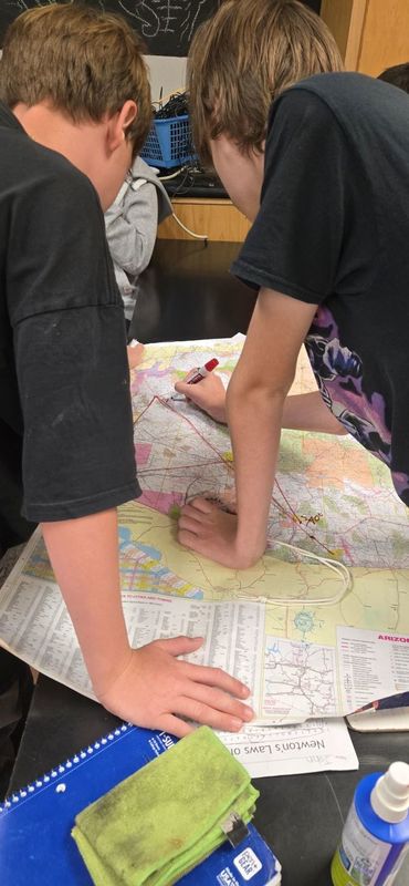
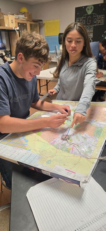
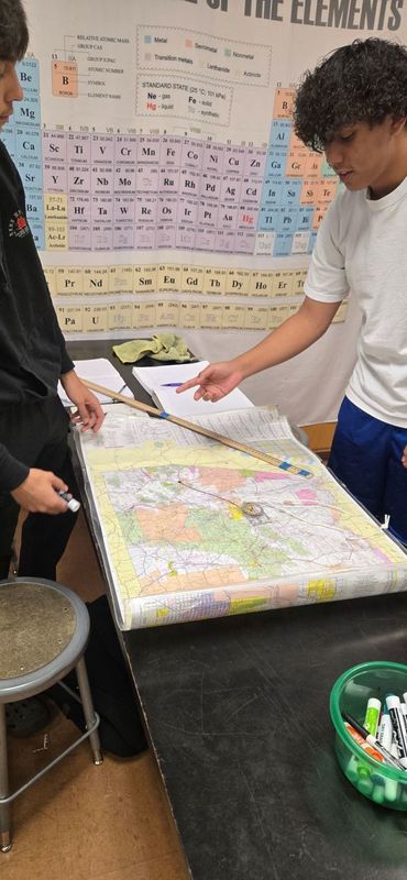
In an age where GPS and digital navigation tools dominate, our High
School Physics students recently experienced what it was like to chart
the skies before modern technology. Armed with compasses, maps, and
rulers, the students practiced the lost art of plotting flight
paths—just as pilots did in the early days of aviation.
The activity challenged students to calculate direction, distance, and
position using only simple tools and their critical thinking skills. By
aligning a compass with a map of Arizona and carefully measuring
distances with a ruler, students recreated the process pilots once used
to plan safe and efficient routes across vast stretches of land and ocean.
Not only did the exercise strengthen their math and geography skills,
but it also gave them a sense of respect for the ingenuity and
determination of those early aviators. By stepping back in time, the
students gained a greater appreciation for both the history of flight
and the technology we often take for granted today. It was hands-on
learning at its best: connecting problem-solving, teamwork, and history
in one engaging project.